Study path · UK & international
The RYA Day Skipper shorebased course covers coastal navigation, chartwork, tides, pilotage, the collision regulations, lights and shapes, buoyage, weather, safety and passage planning. This page collects the free guides and short practice quizzes on selected topics, plus a matching supplementary app course. This is not a complete shorebased course or an official exam.
SailQuiz is an independent study aid. It is not affiliated with, endorsed by, accredited by, or otherwise connected to the ASA, US Sailing, the RYA, the USCG, or any other certifying body, and it is not a substitute for their official training or examinations.
Free interactive practice with an explanation on every answer. No sign-up.
Who gives way, what the stand-on vessel must do, lights, shapes and sound signals.
COLREGs
Eight questions, asked in the same order every time — in sight? overtaking? what are they? which rule? who keeps clear? what must the stand-on vessel do? is there risk? what action is enough? — applied to five worked scenarios.
COLREGs
Sail vs sail, power vs power, overtaking, head-on and crossing: what COLREG Rules 12–18 actually require of the give-way and stand-on vessel, with diagrams and a reasoning sequence you can use in the exam and at sea.
COLREGs
Masthead, sidelights and sternlight and their arcs, then the extra lights that tell you a vessel is fishing, towing, anchored, not under command or restricted — with diagrams for each and the rules they come from.
COLREGs
When Rule 19 applies to vessels not in sight in or near restricted visibility, safe speed, radar-only contacts and Rule 35 fog signals explained.
Buoyage and pilotage
IALA Region A, cardinal marks, and planning a harbour entry you have never made before.
Navigation
Red to port or red right returning? How the two IALA buoyage regions differ, what “direction of buoyage” really means, preferred-channel marks, and the marks that are identical everywhere — with a side-by-side diagram.
Navigation
North, east, south, west cardinal buoys explained — what the two cones mean, why the black bands follow the cones, the clock-face trick for the light rhythms, and how to use them without shaving the danger.
Navigation
The difference between navigation and pilotage, what goes into a pilotage plan — marks, transits, clearing bearings, depths, tides and the point of no return — and how to run the plan from the cockpit without a chart table.
Chartwork and position
Reading the chart, true, magnetic and compass, position fixing, course to steer.
Navigation
The title block, scale, latitude and longitude scales, soundings and drying heights, depth contours, seabed types, hazards, buoys, light descriptions and the compass rose — using a labelled educational chart extract.
Navigation
What variation and deviation are, where each comes from, how to read variation from the compass rose and deviation from the card, and a conversion method you can apply the same way every time — with worked examples.
Navigation
How to fix your position from compass bearings of charted objects, why a transit is the best position line you can get, what a cocked hat means, how to use a depth contour or a range as a position line, and how to cross-check GPS.
Navigation
The two chartwork constructions that use a tidal stream vector — the estimated position (where am I?) and the course to steer (where should I point?) — why they are drawn in different orders, how leeway fits in, and a worked example of each.
Navigation
How positions are written and plotted, why one minute of latitude is one nautical mile, why you never measure distance on the longitude scale, and how to use dividers and a plotter on a Mercator chart.
Heights and streams are different calculations — and the exam tests both.
Tides
What chart datum is, how charted depths, drying heights, heights of tide and clearance heights are measured from it, the datums used on UK and US charts, and how to combine them without mixing quantities.
Tides
How the rule of twelfths approximates the tidal curve, a worked example checked step by step, what it assumes, why it says nothing about tidal streams, and when you must use the tidal curve instead.
Tides
Why height of tide and tidal stream are separate quantities, where the timing of slack water and maximum stream comes from, how to read tidal diamonds and a tidal stream atlas, and how springs and neaps change the answer.
Anchoring and boat handling — the practical judgement the theory supports.
Seamanship
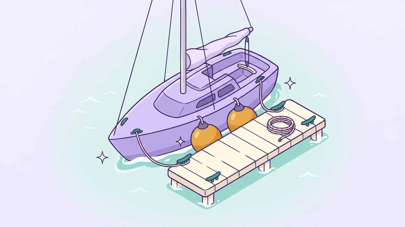
The physics that decide every docking: momentum and steerage, windage, the pivot point, prop wash and prop walk — then planned approaches for wind on, wind off and crosswind, leaving with a spring, and when to bail out and go around.
Seamanship
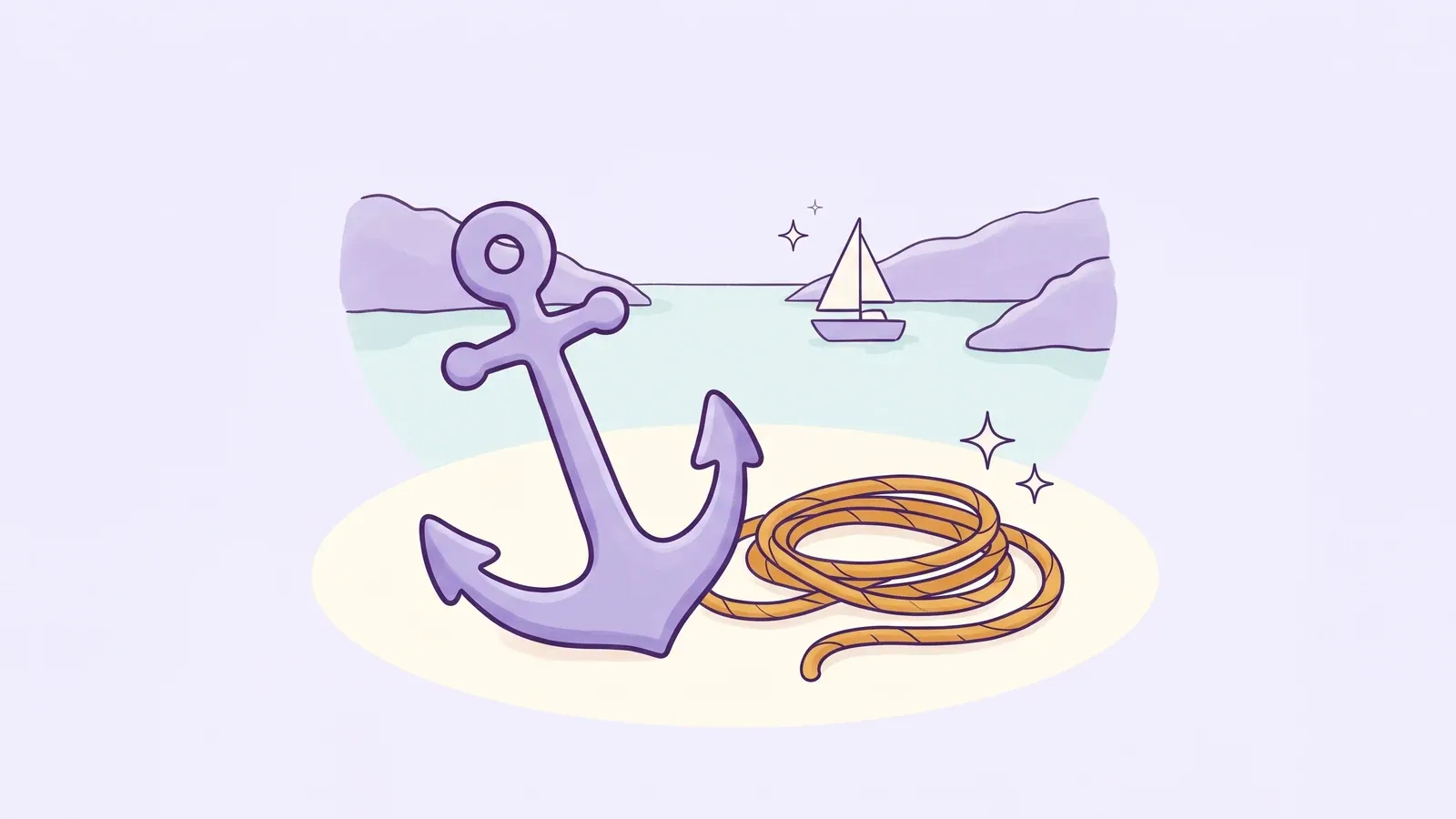
How to choose an anchorage, work out scope from depth, tide and bow height (and why the official ratios differ), set the anchor and prove it is holding, and think in swinging circles — with worked examples.
In the app
21 modules and 1,000+ explained questions on selected Day Skipper-level topics — chartwork, tides, pilotage, passage planning, COLREGs, lights, buoyage, weather, anchoring, emergencies and more. Free to start, no account, fully offline.